Tropical Cyclone Jasper Alert: Australia Braces for Landfall with Power Cuts, Strong Rain, and Flash Floods 2023
The weather service says there will be strong rain and winds of up to 140 km/h. Property, power lines, and trees could be damaged.
Tropical Cyclone Jasper Alert: Cities in northeastern Australia, like Cairns and Port Douglas, are getting ready for Tropical Cyclone Jasper to hit. There is a Category Two storm in the Coral Sea that could bring “destructive” winds, flash flooding, and high tides. The weather service says there will be strong rain and winds of up to 140 km/h. Property, power lines, and trees could be damaged, so the government is telling people to tie down any open things. Power cuts are planned as a “preventative” move to stress the importance of being safe.
Tropical Cyclone Jasper Alert: Australia Braces for Landfall with Power Cuts, Heavy Rain, and Flash Floods
Some people are afraid that Jasper could get stronger again near the Top End if it stays over the Gulf of Carpentaria and gathers energy.
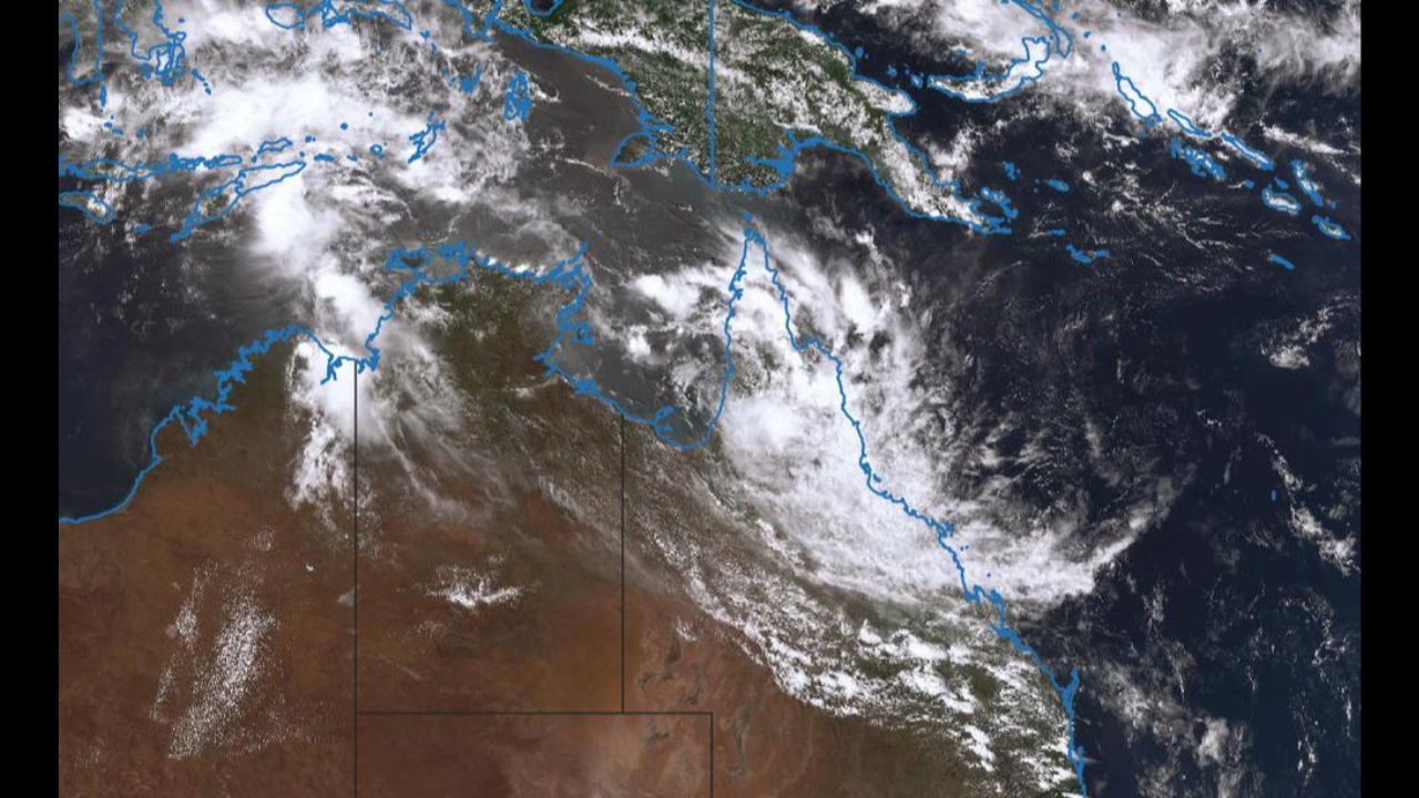
The Bureau of Meteorology says that the ex-cyclone could get stronger if it stays over the water in the Gulf of Carpentaria or the Arafura Sea further north over the next week.
A “moderate” chance, or 25% to 30%, was seen by the BoM that Jasper would get stronger again and turn into a tropical storm by late Wednesday.
The storm cell was causing heavy to very heavy rain today over the rural Cape York Peninsula, according to the weather office.
“There is large uncertainty around both its movement and strength from the middle of next week,” it stated.
“But from late Wednesday, the risk of redevelopment increases and there is a moderate chance through to Saturday.”
People who live in areas that are at risk should stay up to date on all news from the office.
Check here for the more latest news: @bureauofmeteorology
UN Arabic Language Day: Know History and other interesting Facts